UN
2 Staines Walk
£ 169,995
Description
We don't have a Description for this property.
- Bedrooms
- 3
- Bathrooms
- 0
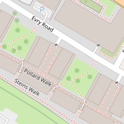
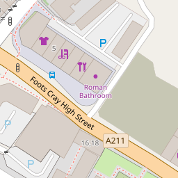
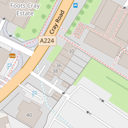
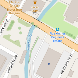
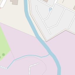

Leaflet © OpenStreetMap contributors
The heatmap indicates the level of crime in the area. The color of the heatmap indicates the crime severity and recency.
Metrics Year-on-Year
- Average area value
- 423,417.00 £Decreased by 4.71 %
- Average area rental value
- 1,573.00 £/moDecreased by 1.75 %
- Est rental Yield
- 4.46 %Increased by 3.24 %
- Crime Rate
- 24.00 %Unchanged by 0.00 %
from 444,363.00 £
from 1,601.00 £/mo
from 4.32 %
from 24.00 %
Nearby Schools
| Name | Type | Ofsted | Distance |
|---|---|---|---|
| Hope Community School | Free Schools | Requires improvement | 0.25 KM |
| St Peter Chanel Catholic Primary School | Voluntary Aided School | Good | 0.36 KM |
| Merton Court School | Other Independent School | 0.91 KM | |
| Kemnal Technology College | Academy Converter | Serious Weaknesses | 1.09 KM |
| North Cray Neighbourhood Centre | Children's Centre Linked Site | 1.13 KM |
Images
Nearby Streets
| Name | Average Price | Average Sqft | Distance |
|---|---|---|---|
| Sedcombe Close | £ 799,999 | 0 | 0.00 KM |
| Warren Road | £ 625,000 | 0 | 0.00 KM |
| Sevenoaks Way | £ 553,750 | 0 | 0.00 KM |
| Aston Close | £ 0 | 0 | 0.00 KM |
Nearby Transport
| Name | NLC | TLC | Distance |
|---|---|---|---|
| Albany Park | 5132 | AYP | 2.16 KM |
| Sidcup | 5125 | SID | 2.42 KM |
| St Mary Cray | 5073 | SMY | 2.85 KM |
| Bexley | 5093 | BXY | 4.14 KM |
| Bexleyheath | 5094 | BXH | 5.40 KM |
Nearby Listings
| Address | Price | Type | Score | Distance |
|---|---|---|---|---|
| Pollard Walk, Sidcup, DA14 5PB | £ 275,000 | BUY | 5 / 10 | 0.03 KM |
| Pollard Walk, Sidcup, Kent, DA14 | £ 260,000 | BUY | Unknown | 0.06 KM |
| Foots Cray High Street, Sidcup, DA14 | £ 360,000 | BUY | 6 / 10 | 0.09 KM |
| Foots Cray High Street, Sidcup | £ 199,950 | BUY | 7 / 10 | 0.11 KM |
| Foots Cray High Street, Sidcup, DA14 | £ 235,000 | BUY | 6 / 10 | 0.12 KM |
Nearby Properties
| Address | Price | Distance |
|---|---|---|
| 20 Staines Walk | £ 156,500 | 0.00 KM |
| 2 Staines Walk | £ 169,995 | 0.00 KM |
| 57 Pollard Walk | £ 118,000 | 0.02 KM |
| 37 Pollard Walk | £ 97,000 | 0.02 KM |
| 13 Pollard Walk | £ 110,000 | 0.02 KM |